Window Cliffs Class II Natural Scientific State Natural Area

Window Cliffs is a 275-acre state natural area designated in 2014. It is located in southern Putnam County approximately 18 miles south of Cookeville near Burgess Falls State Natural Area. Located within the dissected portion of the Eastern Highland Rim, Window Cliffs is a prominent geological clifftop feature that consists of a very narrow, elongated ridge that lies in the neck of an incised meander of Cane Creek. While it is about 150 feet wide at its base, it is only a few feet wide on the narrow clifftop 200 feet above Caney Creek.
This is a fragile landform underlain by Mississippian and Ordovician aged sedimentary limestone that continues to undergo erosion and dissolution. This geologic process has created the prominent natural bridges or “windows” for which it is named. Its notoriety extends back to the early 19th century when the French Naturalist, Charles Leseur, visited the site and named it “Cane Creek Bluff.” His sketch of the feature is displayed in the La Havre Natural History Museum in France.
The cliff face supports a Central Interior Calcareous Cliff and Talus plant community and it is only one of two known Tennessee locations of the state-endangered plains muhly (Muhlenbergia cuspidata). This is a shortgrass prairie species commonly found in the western plains. The state-listed northern white cedar (Thuja occidentalis) occurs at the base of the cliff. While rare in Tennessee, it occurs most often in eastern Canada and the northeastern U.S. The best quality forest communities in the natural area consist of dry-mesic oak and hickory in the upland while the mesic coves support both American beech and eastern hemlock.
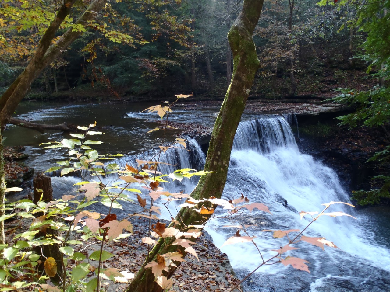
Approximately 2.4 stream-miles of Cane Creek flow through the natural area along with Phelps Branch, a tributary to Cane Creek. A few small cascades, steep slopes, narrow ledges and a 20 ft. waterfall occur along Cane Creek. Many of these features can be observed along a 2.7 mile trail that leads from the parking area to the Window Cliffs. The trail traverses some old fields and successional forest through a section of natural area acquired to provide public access to the Windows.
Site Management:
Burgess Falls State Natural Area, 4000 Burgess Falls Drive, Sparta, TN 38583-6661 (931) 432-5312; Division of Natural Areas, William R. Snodgrass Tennessee Tower, 312 Rosa L. Parks Avenue, 2nd Floor, Nashville, TN 37243, phone (615) 532-0431. See more at: http://www.tn.gov/environment/article/na-na-Burgess-Falls#sthash.0X1qrt7K.dpuf
Parking: Yes
Trail: Yes
Dogs on Leash: No
Hunting: No
Fishing: Yes
Camping: No
Public Access:
Window Cliffs is a day use natural area. A trailhead with an interpretative kiosk is located at the parking area at the end of Old Cane Creek Road. The trail is 5.5 miles roundtrip from the parking area to Window Cliffs. Allow two and half to 3 hours to complete the hike. A roundtrip requires 18 creek crossings which can be challenging or impassable during high water as there are no bridges but only cables and rock crossings. You will get wet when hiking this trail. Hiking boots are recommended for hiking the trail, having an extra pair of water shoes or tennis shoes is suggested for stream crossings. The trail is considered difficult to strenuous. Due to the numerous stream crossings with sometimes swift water and the potentially dangerous cliff tops, pets are not permitted within the natural area.
Directions:
From Nashville: take I-40 east to Putnam County to exit 280 (approx. 71 miles). Left on Ditty Road, right on Moss Road, right on Cookeville Boat Dock Road, left on Old Mill Road, and left on Old Cane Creek Rd to parking area. It is 7.3 miles from the I-40 exit. From Knoxville: I-40 west to TN 135 S/S Willow Ave Cookeville Exit 286 (approx. 102 miles). From TN-135 to Cookeville Boat Dock Road left on Old Mill Road, and left on Old Cane Creek Rd to parking area. It is 9.7 miles from the I-40 exit.
Details & Map:
- Map to Window Cliffs
- Owned by the State of Tennessee
- Burgess Falls7.5-minute quadrangle
- Eastern Highland Rim Physiographic Province
- Designated in 2014