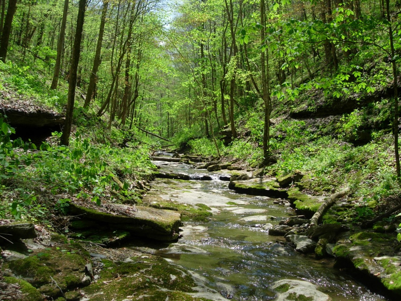
Washmorgan Hollow Class II Natural-Scientific State Natural Area

Washmorgan Hollow is a 73-acre natural area in Jackson County and is owned by The Nature Conservancy of Tennessee. This sheltered ravine on the Eastern Highland Rim has a rich and diverse flora uncommon in many other areas in the region. It provides excellent habitat for plants and animals alike. The narrow winding ridges are separated by steep slopes that drop between 200 and 300 feet to the bottom of the hollow. A perennial stream tumbles over a waterfall at the head of the hollow. The stream flows out of Washmorgan Hollow into Roaring River just below the confluence where Spring Creek enters Roaring River. Both of these are state scenic rivers.
The forest in this natural area is relatively undisturbed, and birdwatchers have observed neotropical warblers here that includes cerulean warblers, scarlet tanagers, and worm-eating warblers. The rich slopes support red and sugar maples, large beeches, and tulip poplars. There are large sycamore trees and box elder in the hollow along the stream. The forest throughout Washmorgan Hollow is a mixed mesophytic community type as indicated by the presence of buckeye and basswood. In addition to all the many co-dominants already described, many other species of ash, oak, and hickory are a part of this forest. Unfortunately, the impact of butternut canker can be observed here as many of the butternut trees (Juglans cinerea) have been affected and are dead or dying.
This rich hollow with its steep slopes and mixed mesophytic forest supports a colorful spring flora. The flora includes a large population of synandra (Synandra hispidula), which is the mint family, and uncommon in Tennessee.
Site Management
The Nature Conservancy, Tennessee Chapter, 210 25th Avenue North, Suite 810, Nashville, TN 37203, (615) 383-9909. Division of Natural Areas, William R. Snodgrass Tennessee Tower, 312 Rosa L. Parks Avenue, 2nd Floor, Nashville, TN 37243, (615) 532-0431.
Public Access
Open to the Public - Limited Access
Parking and hiking trails are not provided at this time.
Parking: Yes
Trail: No
Dogs on Leash: Yes
Hunting: No
Fishing: No
Camping: No
Directions
From Gainesboro go east on Highway 135, which meanders along the Roaring River. When Highway 135 begins to leave the river bottom, turn left onto Spring Creek Road and go approximately a one-half mile to the mouth of the second large hollow where Washmorgan Hollow is located.
Details & Map
- Map to Washmorgan Hollow
- Owned by The Nature Conservancy
- Dodson Branch 7.5-minute quadrangle
- Eastern Highland Rim Physiographic Province
- Designated in 1995