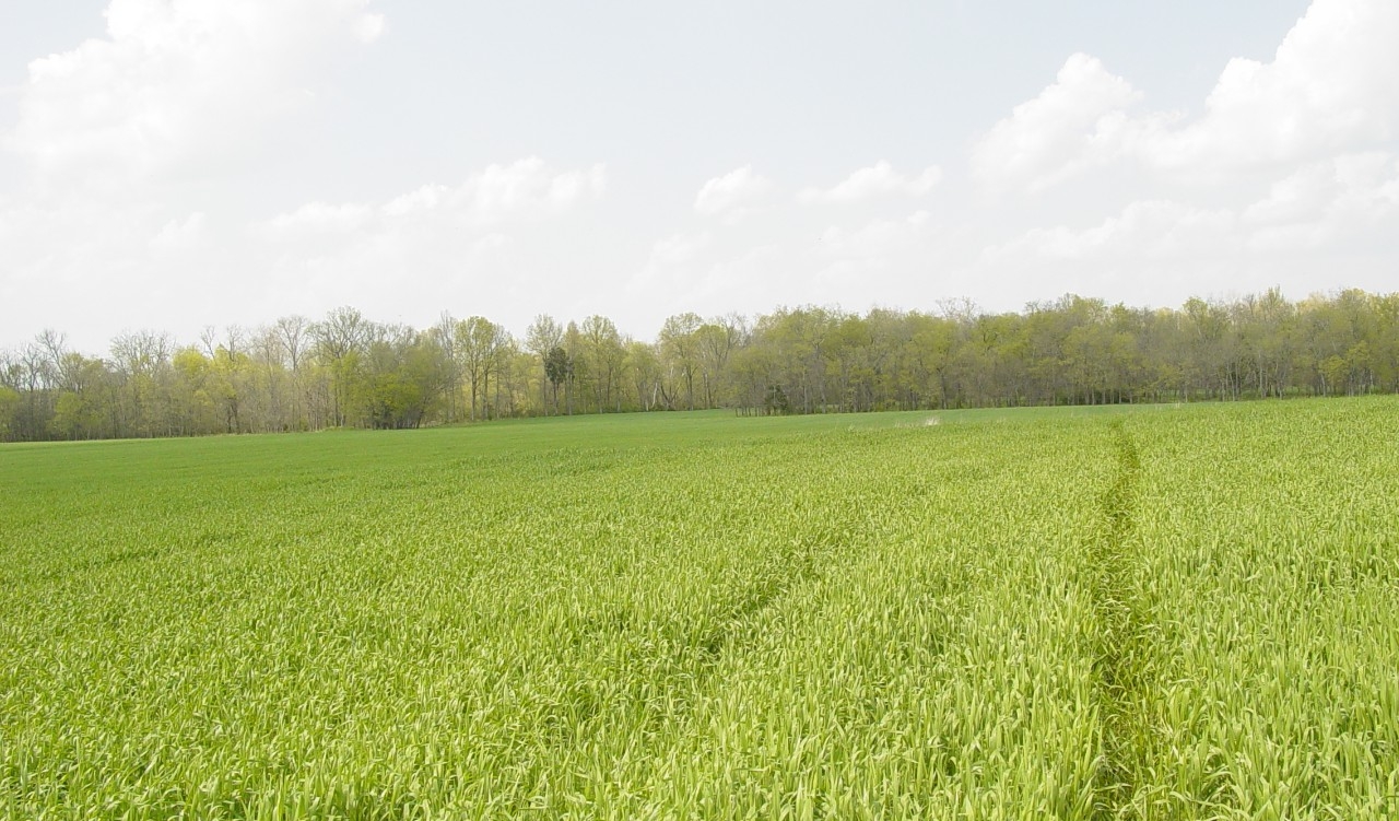
Walterhill Floodplain Class II Natural-Scientific State Natural Area

Walterhill Floodplain is a 34-acre natural area located in Rutherford County. It is uniquely different from most natural areas in that it is primarily comprised of an agricultural field. Its main function as a natural area is to protect, maintain, and restore a healthy population of a rare plant species, the Stones River bladderpod (Lesquerella stonensis). This plant grows along the floodplains of Stones River from which it takes its name. A small winter annual in the mustard family, Stones River bladderpod produces a profusion of white flowers in early spring. After the plant flowers, it quickly dies leaving behind only its seeds which lie dormant on or near the surface of the soil throughout the summer months. In the early fall, those seeds that have found their way into the soil will germinate and grow a small rosette of leaves. The plant remains in this state throughout the cold winter months but will grow very slowly, particularly on warmer days. In late winter the plants react to the warming temperatures and lengthening days by entering a period of rapid growth. This late winter growth period gives the bladderpod a head start on most other plants, effectively avoiding competition for sunlight from other plants later in the spring. In the early spring, the plants flower, set seed and then die, completing their life cycle.
Stones River bladderpod requires some level of soil disturbance in order for the seeds to be incorporated into the soil. Historically, seeds were distributed in the soil by scouring of floodwaters or by large grazing animals. Presently, the best soil disturbance results from row crop agricultural practices. In a unique partnership between Middle Tennessee State University's College of Agriculture (MTSU) and the Tennessee Natural Areas Program, MTSU cooperatively farms this land in a way that ensures the survival of this plant. After May 15th, the area is lightly plowed and then planted in a summer hay crop that is harvested in late summer. This agricultural activity takes place after the bladderpod completes its lifecycle in the spring, but before its seeds germinate in the fall. This unique partnership between agriculture and rare plant conservation is helping ensure the long-term survival of this unique plant.
Site Management
Division of Natural Areas, William R. Snodgrass Tennessee Tower, 312 Rosa L. Parks Avenue, 2nd Floor, Nashville, TN 37243, phone (615) 532-0431.
Public Access
Open to the Public - Limited Access
Parking and hiking trails are not provided at this time.
Parking: No
Trail: No
Dogs on Leash: No
Hunting: No
Fishing: No
Camping: No
Directions
From Murfreesboro, proceed approximately two miles north of the Veterans Hospital on Highway 231. Walterhill State Natural Area is just before the Stones River on the right.
Details & Map
- Map to Walterhill Floodplain
- Owned by the State of Tennessee
- Walterhill 7.5-minute quadrangle
- Central Basin Physiographic Province
- Designated in 1985