Chickasaw State Forest
Size: 12,749 acres
The Resettlement Administration purchased most of the land in 1938 at a time when farming and timber harvesting had left it highly eroded and degraded. The State of Tennessee received the entire project area in 1955, and the Tennessee Department of Agriculture Division of Forestry took over management of the portion that became a state forest.
Today, about 63% of the forest is hardwood, 29% is southern yellow pine, and the remainder is mixed pine and hardwood. Mature sawtimber dominates much of the forest, and about 35% of stands are upland hardwoods more than 80 years old.
Chickasaw State Forest is located in Chester and Hardeman Counties on the Coastal Plain in West Tennessee.
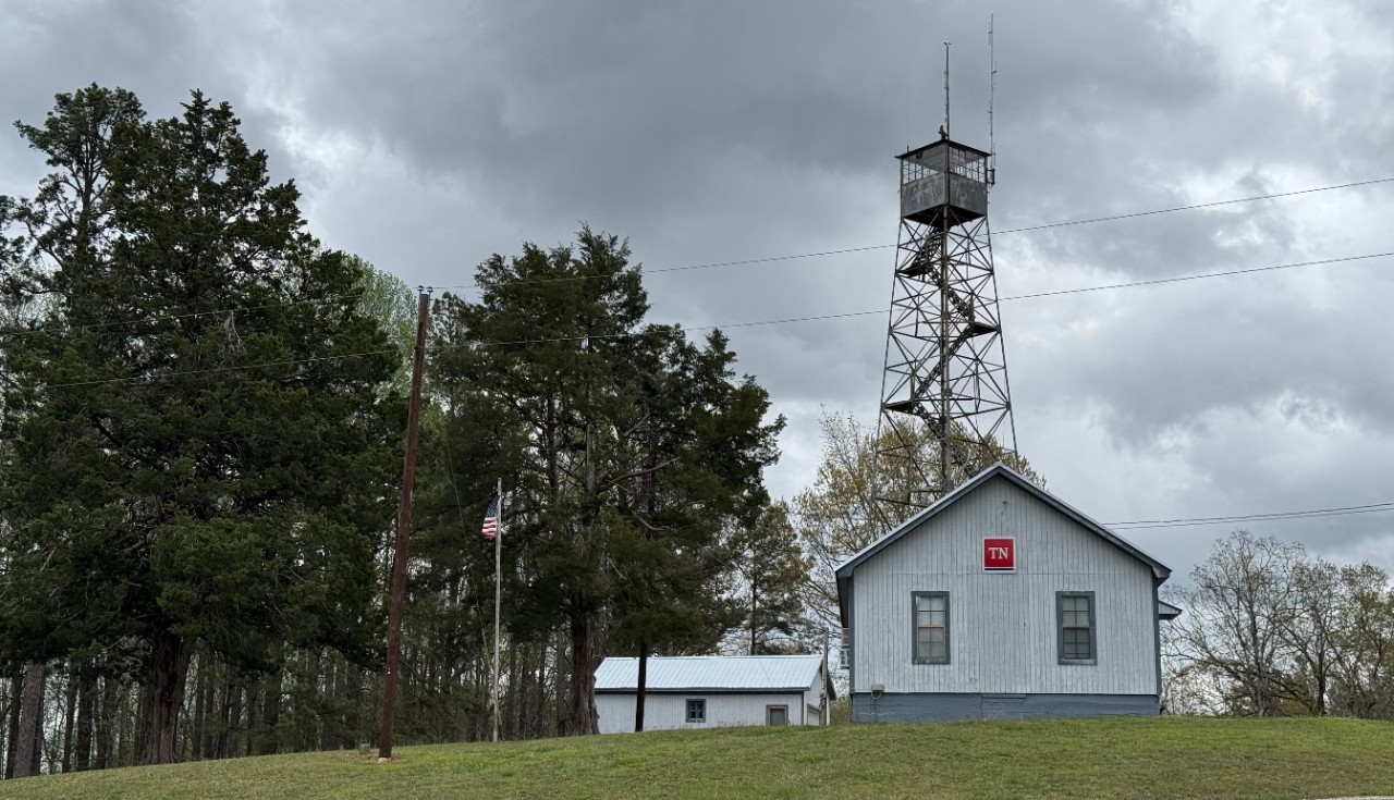
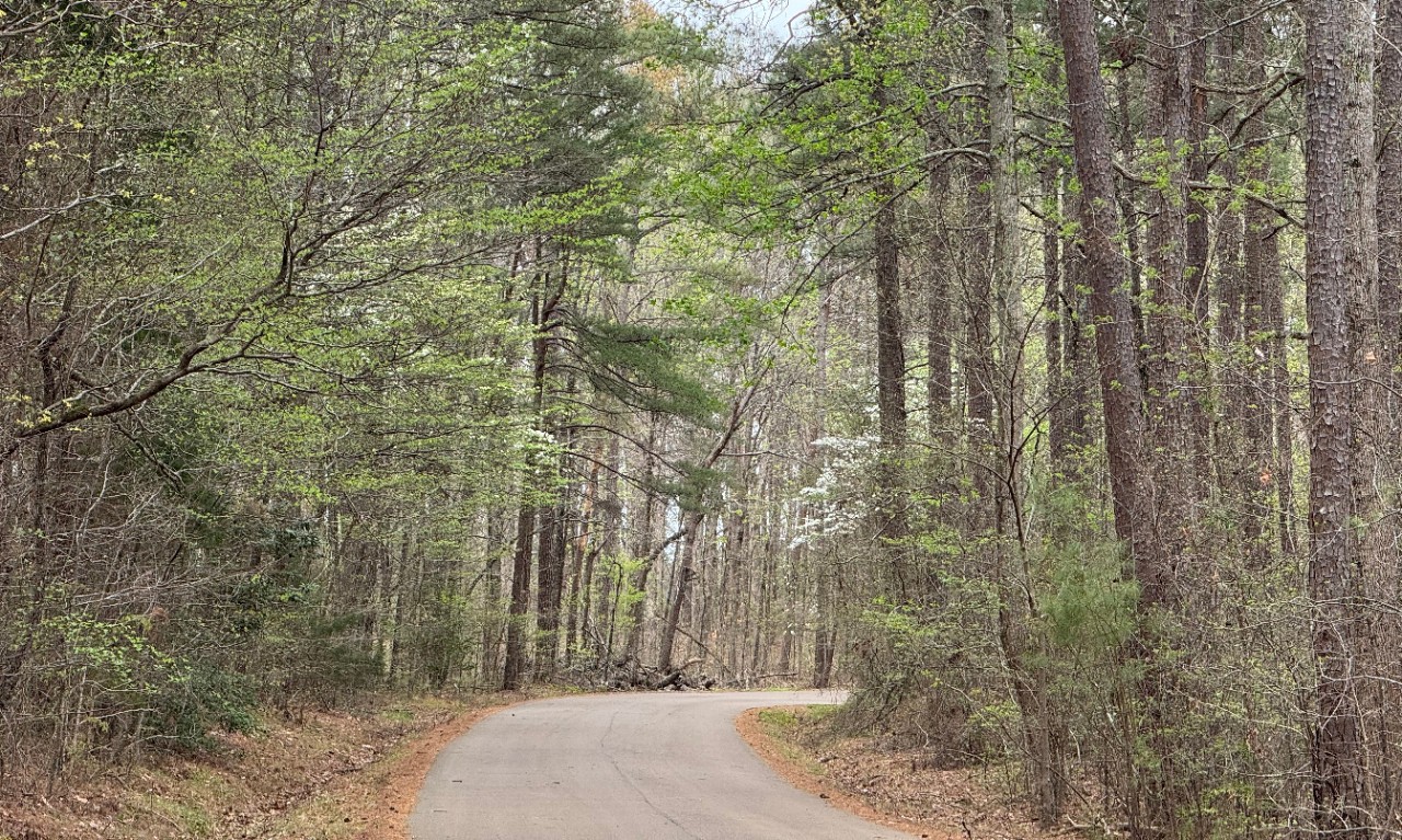
The forest has a rich history of recovery and active management. A tornado in 1988 downed 446 acres, and southern pine beetles damaged 300 acres in 1986 and 1987, both requiring large salvage harvests. The forest also contains 115 acres set aside as an experimental forest and nursery, along with eight cemeteries and four inholdings.
Two state parks surrounding lakes lie within the forest boundaries. Educational and demonstration areas with interpretive signage are located throughout. Hunting has long been a traditional use of the forest. Other recreational opportunities include hiking, horseback riding and camping.
Fire Tower Access
Fire towers on state forests are not open to the public. Visitors are welcome to photograph these structures but may not climb the towers.

This map shows Chickasaw State Forest in West Tennessee, including its boundaries, internal road and trail network and designated road uses. The forest covers several connected tracts bisected by Tennessee Highway 100 and is accessed via Highway 18, Highway 125, Pleasant Springs Road and connecting county roads.
The forest surrounds Chickasaw State Park in its northeastern portion, and a private in-holding is identified in the central portion of the forest. Roads within the forest are classified by surface condition as suitable for most vehicles, rough and recommended for high-clearance vehicles, or narrow with rough terrain and not suitable for vehicles over 50 inches wide. Public use restrictions are indicated by symbols where applicable and include no horseback riding, no ATVs, no OHVs, foot traffic only and road gates.
Any unmapped trails are closed except to foot traffic only. The map is for general reference and is not intended for navigational use. The information contained in the map is also available in the sections below.
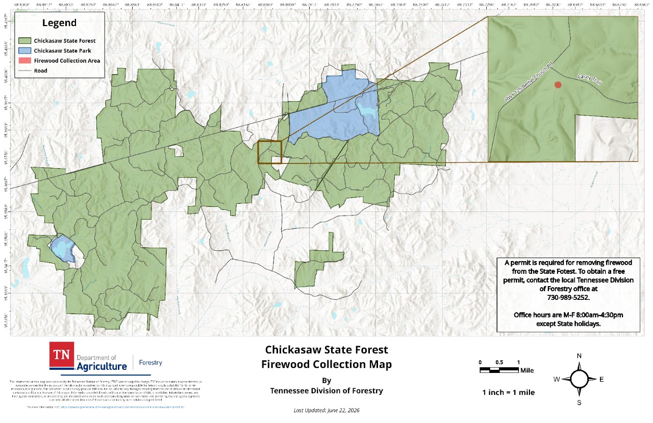
This map shows the designated firewood collection area within Chickasaw State Forest in West Tennessee. The harvest area is a small site located near the intersection of Highway 125 (Bethel Church Road) and Casey Trail in the central portion of the forest, shown in detail in an inset map in the upper right. The forest surrounds Chickasaw State Park in its north-central portion. A permit is required to remove firewood from the state forest.
Free permits are available from the local Tennessee Division of Forestry office at 730-989-5252, Monday through Friday from 8 a.m. to 4:30 p.m. except on state holidays.
Contact
John Kelley, Area Forester
1865 Firetower Road
Medon, TN 38356
(731) 989-5252