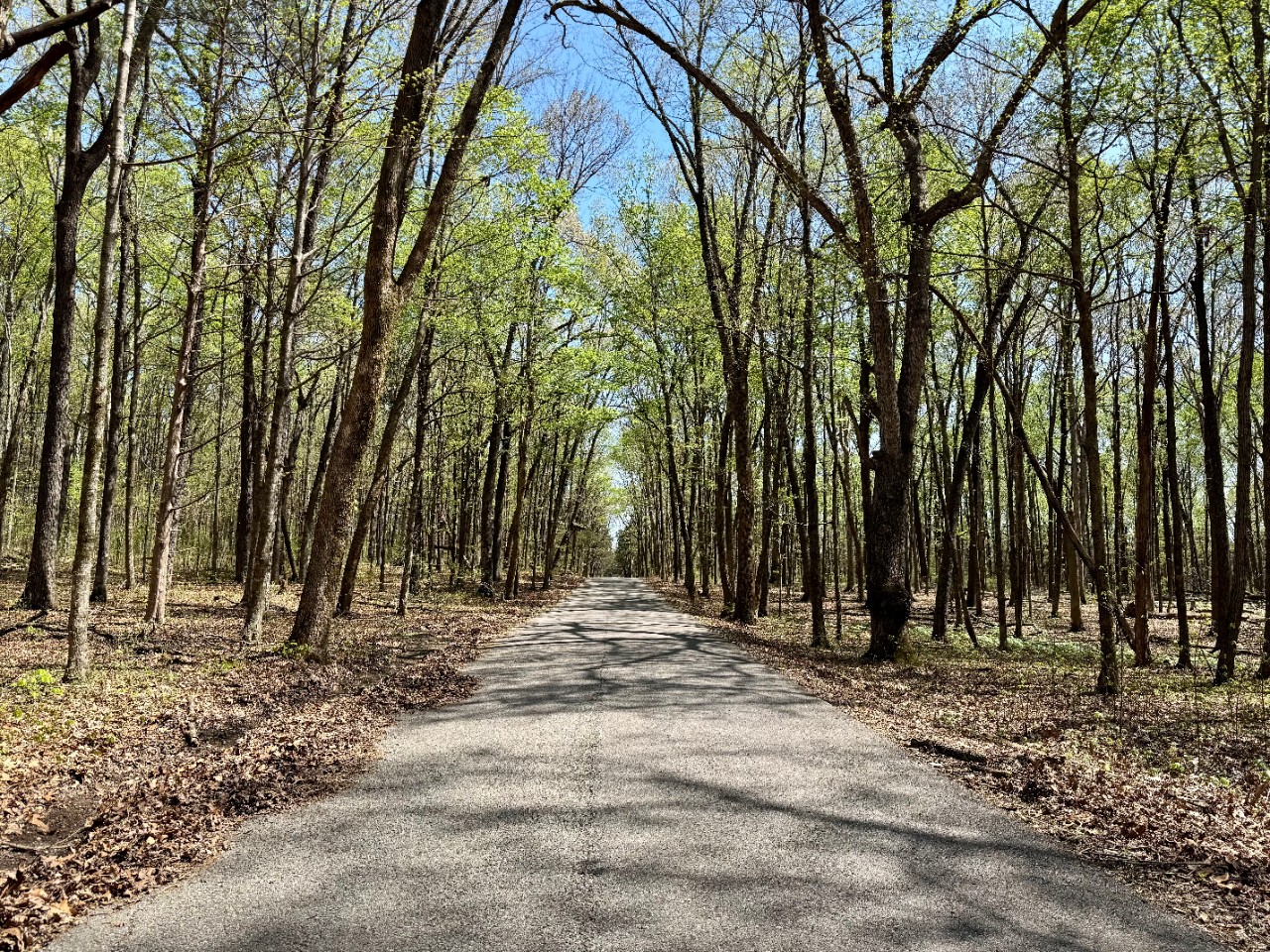
Cedars of Lebanon State Forest
Size: 5,271 acres
Cedars of Lebanon State Forest is located in the Central Basin of Tennessee in the southern part of Wilson County.
This forest originated from the Resettlement Administration Program in 1935. Before the land was acquired through the program, numerous private owners maintained row crops, pasture, and forestland there. Unfortunately, the farmland eroded over time and the forestland was heavily cut, burned over, and damaged by grazing livestock.

Then Tennessee Department of Agriculture Forestry Division assumed responsibility for the land in 1955.
The forest is of Natural Heritage significance because it is part of the largest contiguous cedar glade-barren complex in public ownership in Middle Tennessee. About 14% of the area is designated a Tennessee Natural Resource Area and contains at least two threatened or endangered plant species.
Eastern red cedar is the predominant tree species and is found in pure stands on very poor soils. In deeper soils at better sites, eastern red cedar is found mixed in with hardwoods.
The forest contains a Natural Area (1,034 acres), a State Park (831 acres), several in-holdings (304 acres), 6 cemeteries, and 1 cave.
No timber harvest activities have occurred recently on the forest. The exception is a few salvage cuts as a result of pine mortality from the southern pine beetle.
Hunting has been and continues to be a popular use of the forest. The forest has been highly degraded and eroded by high Off Highway Vehicle (OHV) use. As a result, OHVs have been prohibited.
Contact
Adam Muth, Area Forester
5112 Murfreesboro Rd., Lebanon, TN 37090
(615) 443-2768