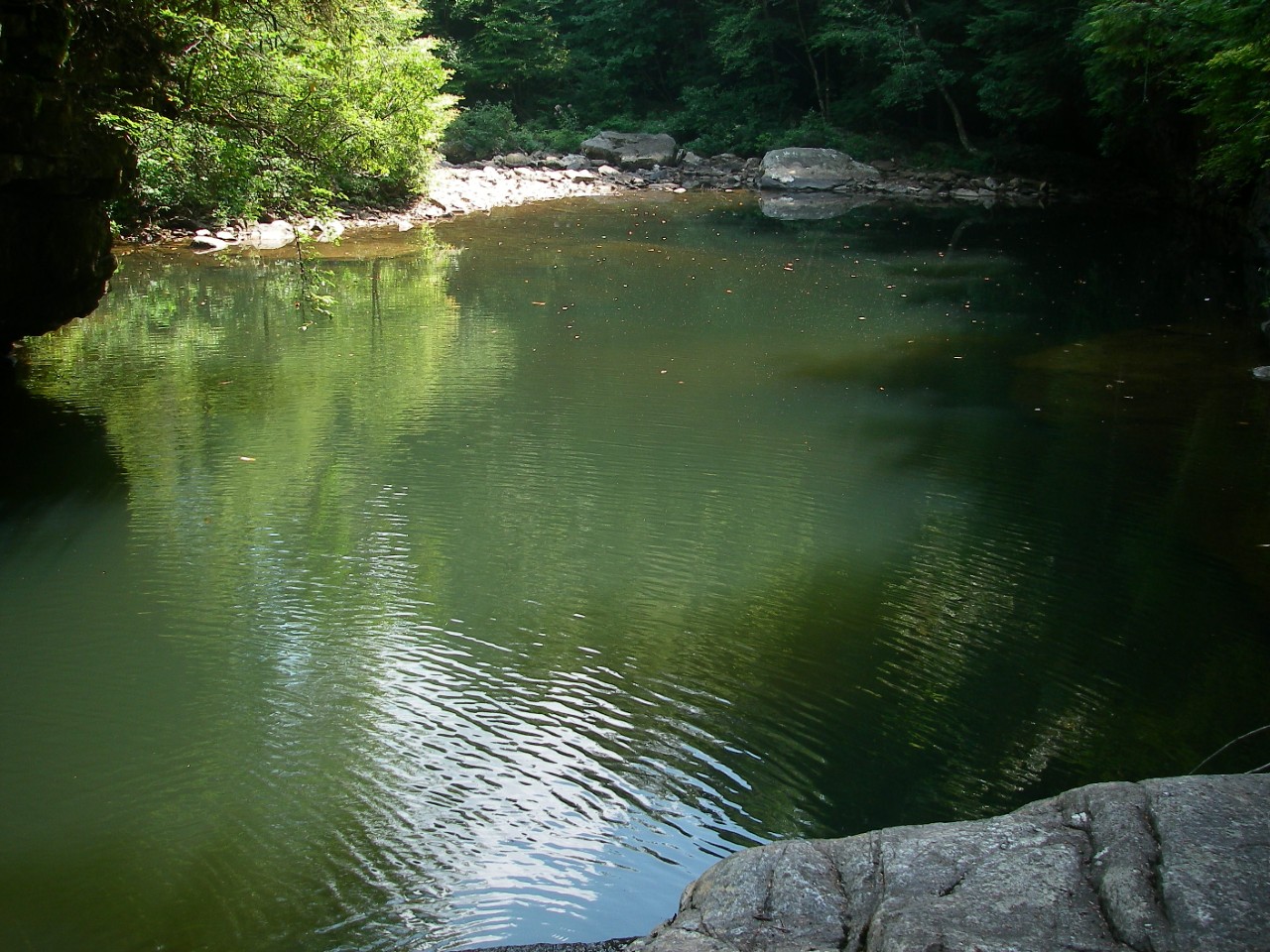
North Chickamauga Creek Gorge Class II Natural-Scientific State Natural Area

North Chickamauga Creek is a 7,093-acre natural area located in Hamilton and Sequatchie Counties. It is an outstanding deep gorge cut into the sandstone plateau of Walden's Ridge on the Cumberland Plateau. The gorge is approximately ten miles long with steep slopes, sandstone bluffs, and rich coves. A high diversity of plant and animal habitat exists in the gorge. Ten state and/or federally listed plants occur here including the federally threatened large-flowered skullcap (Scutellaria montana) and the federally endangered Virginia spiraea (Spiraea virginiana). Bald eagles and peregrine falcons have also been reported here.
A mixed mesophytic forest combines with oak-hickory, and oak-pine forests to form a rich mosaic throughout much of the gorge. Small pockets of old growth forest with towering tulip poplar, yellow buckeye, and basswood occur in remote locations where rugged topography has protected the forest from past logging. On the uplands and bluffs, there are oak-hickory and oak-pine forests, upland ponds, and sandstone glades and barrens. Riverside shoals and stream cobble bars in North Chickamauga Creek provide habitat for several threatened and endangered plants.
The creek is a popular kayaking stream during parts of the year. It is also a popular destination for hikers. The natural area will also serve as a trailhead for the Cumberland Trail State Scenic Trail, which will pass through it. The Cumberland Trail, the state's only linear state park, when completed will be 300 miles in length cutting through 11 Tennessee counties from the Cumberland Gap National Historic Park on the Tennessee-Virginia-Kentucky border to the Signal Point near Chattanooga.
The North Chickamauga Conservancy has played an essential role in the acquisition and protection of North Chickamauga Creek Gorge. The natural area was designated in 1999 and thousands of additional acres have been added since then. In 2006, the Bowater Pocket Wilderness Area was transferred to the State and became a part of the natural area.
Site Management
Cumberland Trail State Scenic Park, 220 Park Road, Caryville, TN 37714 phone (432) 566 - 2229; Division of Natural Areas, William R. Snodgrass Tennessee Tower, 312 Rosa L. Parks Avenue, 2nd Floor, Nashville, TN 37243, phone (615) 532-0431; North Chickamauga Creek Conservancy, P.O. Box 358, Hixson, TN 37343, phone (423) 842-1163
Public Access
Open to the Public - Full Access.
Public access is provided in the gorge (formally the Bowater Pocket Wilderness Area) where there are picnic tables and eight miles of hiking trails. On the upland portion (plateau), there is access to ten miles of hiking trails.
Gates Open: 8:00 a.m. to 7:00 p.m.
Overnight Camping: Designated Sites Only /Camping Registration Required: www.friendsofthecumberlandtrail.org
Parking: Yes
Trail: Yes
Dogs on Leash: Yes
Hunting: No
Fishing: Yes
Camping: Yes
Directions
North Chickamauga Creek Gorge is located 15 miles north of Chattanooga. There is access to hiking in the gorge and on the plateau. To the gorge, take Highway 27, exit at Thrasher Pike and turn left, go about a mile to Dayton Pike, and then turn right and proceed a mile to Montlake Road. Take a left and proceed 1.5 miles to the entrance on the left. To the top of the plateau, turn off of Dayton Pike left on Roberts Mill Road. At the top of the escarpment, go straight onto Hixson Springs Road and proceed about 1.5 miles to the grassy field and parking area opposite Standing Rock Road.
Details & Map
- Map to North Chickamauga Creek
- Owned by the State of Tennessee
- Fairmount, Henson Gap & Soddy Daisy 7.5-minute quadrangles
- Cumberland Plateau Physiographic Province
- Designated in 1999