Community Ecology
Tennessee is a special place! From east to west and north to south, there are unique and amazing natural plant communities. While the best and least impacted of these areas often possess striking natural beauty, they are more than just pretty scenery. These natural plant communities are critical to the long-term protection of terrestrial biodiversity in Tennessee.
Select images below to view the gallery and more information.


What is a Plant Community?
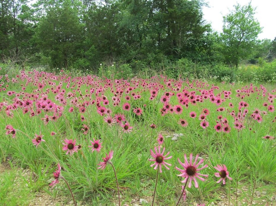
In the same way a pickup truck is made of many different parts, and together those assembled parts get you where you want to go, plant communities are made up of individual plant species that work together to form a system. These systems support a whole host of other species and provide many benefits to people. Take for example the Tennessee coneflower, which is our state wildflower and grows nowhere else in the world. This plant is special in its own right, but in the wild it’s found in cedar glades near Nashville. These cedar glades are distinctive plant communities made up of many different plant species, that together form a system that supports many species of animals, including birds, bees, butterflies, and salamanders. That’s why we manage and protect plant communities, it benefits lots of species!
Community Ecology Program Objectives
In the Division of Natural Areas, quality biological data drives effective conservation action. The Community Ecology Program supports this model by working with numerous collaborating partners across Tennessee to focus on three key objectives. These include:
Documenting At-Risk Plant Communities
Like threatened or endangered species, many plant communities across Tennessee are risk. Mapping as many site for as many plant communities as possible helps the Division of Natural Areas prioritize conservation action.
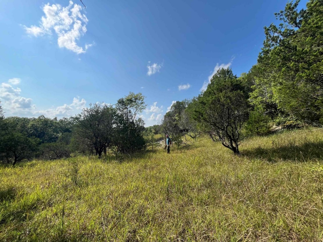
These natural grasslands are found in Decatur and Perry County, Tennessee, generally near the Tennessee River. Geology often drives plant communities…this rare plant community is only found in Tennessee on Silurian age formations.
Comprehensive Plant Community Mapping on State Lands
Enhancing wildlife habitat or protecting biodiversity often drives management on state lands. Since vegetation composition and structure is key for species conservation, detailed vegetation maps help in making important land management decisions.
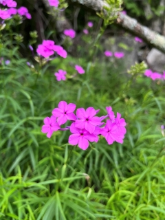
Division of Natural Area staff are working to map all vegetation on this site. The resulting map and document will help resource managers prioritize conservation efforts and educate the public. One rare plant community present at Dry Branch is the Highland Rim Grass-of-Parnassus Seepage Fen, which is type of seepage wetland that supports the federally endangered Tennessee yellow-eyed grass (Xyris tennesseensis) as well as many other wildflower along with Smooth Phlox (Phlox glaberrima) pictured here.
Measuring Management
Restoring and managing natural areas using tools like prescribed fire should result in changes plant communities on-the-ground. Using science-based techniques to measure those changes helps us ensure we are effectively conserving species on state lands.
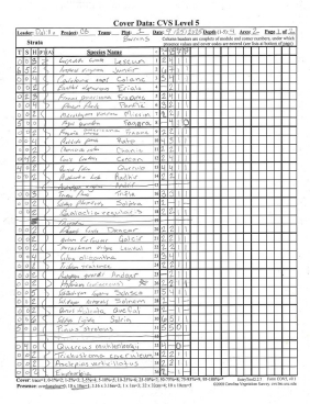
The Division of Natural Areas recently received a grant from the Natural Resources Damage Assessment and Restoration process to restore native grasslands near the Oak Ridge Reservation. With plans to thin the forest and introduce fire to encourage growth of native grasses and wildflowers, we collected baseline, in-depth plot data on these data sheets to document vegetation composition and structure before work starts. We’ll resample these plots in the future to see if we accomplished our goals. We’ll change course if needed, managing natural plant communities is a long-term commitment!