Functional Classification Maps
GIS Mapping and Facilities Office
James K. Polk Building, Suite 1000
505 Deaderick Street
Nashville, Tennessee 37243
Phone: 615.741.3421
Fax: 615.532.0353
Disclaimer: This material is based upon work supported by the Federal Highway Administration under the State Planning and Research (SPR) Program. Any opinions, findings and conclusions or recommendations expressed in this publication are those of the author(s) and do not necessarily reflect the views of the Federal Highway Administration. Likewise, any opinions, findings and conclusions or recommendations expressed in this publication do not necessarily reflect the views of the Tennessee Department of Transportation.
For all functional classification revisions to the maps shown on the website, please visit the Data Visualization Office.
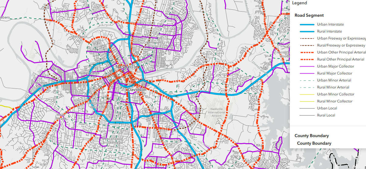
Interactive Functional Classification Map
Select the map image below to explore TDOT's interactive Functional Classification Map. The interactive map is updated as changes occur.
Archived Functional Classification PDF Maps (2024)
Historical functional classification PDF maps, reflecting information available as of 2024, are preserved for reference. View these maps in the Functional Classification Maps (Archived) section.