Tennessee Makes LiDAR Mapping Available, With Instructions

NASHVILLE, Tenn. – State technology experts want Tennesseans to use new mapping tools they’ve made available, and have now produced instructional videos to help. The Strategic Technology Solutions (STS) GIS mapping division within the Department of Finance & Administration offers LiDAR mapping across the state, along with a series of videos to help local civic and community leaders utilize the mapping.
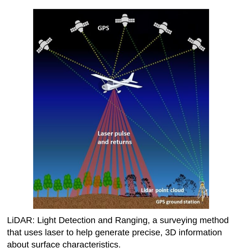
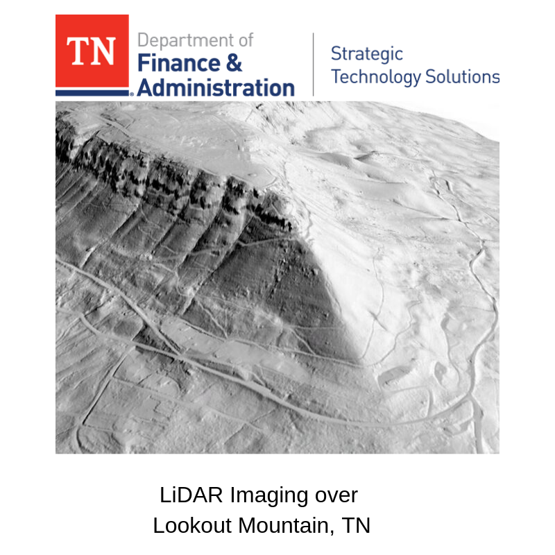
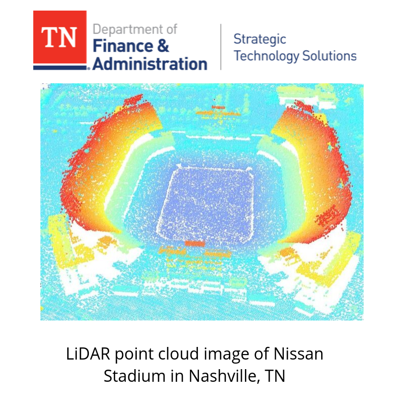
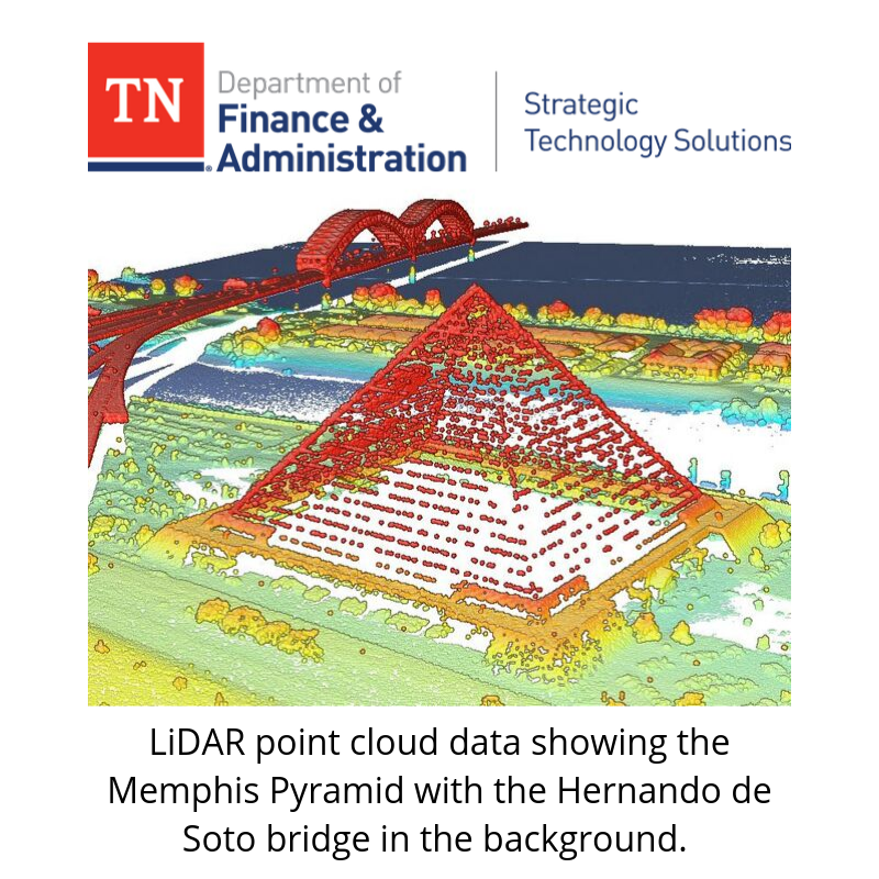
LiDAR, which stands for Light Detection and Ranging, is a surveying method that uses laser to help generate precise, three-dimensional information about surface characteristics across the state of Tennessee. The state’s LiDAR systems allow Tennesseans to examine both natural and manmade environments with accuracy, precision and flexibility.
“The uses for LiDAR range from flood plain mapping, environmental, agricultural and natural resources planning to engineering and economic development planning,” GIS Director Dennis Pedersen said. “After Nashville and much of Tennessee experienced unprecedented flooding in 2010 and 2011, we saw a clear need to provide better flood mapping, and that’s when we decided to partner with federal and other state agencies to develop LiDAR.
“LiDAR data is becoming an increasingly valuable tool for cities and counties in Tennessee for projects that ultimately can save money. We’re glad to make this data open and available for Tennesseans to use.”
Among the state’s uses for LiDAR:
- The TN Department of Transportation’s Hydraulic Design division is utilizing the LiDAR data to aid in the design of culverts and bridges, because LiDAR offers better quality models, reduced costs and better scheduling - ultimately saving taxpayer dollars while providing better designs;
- The TN Department of Environment and Conservation uses LiDAR data for abandoned mine reclamation projects. LiDAR provides initial site scouting from the office, which leads to better targeting of limited resources and eliminating unnecessary trips to the field;
- The Johnson City GIS Department has incorporated the LiDAR-derived two-foot contours into a Land Development Application as well as provided the data to local engineers to reduce costly field work; and,
- University of Tennessee: Geography students use LiDAR data for studies, such as rooftop solar feasibility in impoverished neighborhoods, quail habitat identification, green storm water management and Gatlinburg post fire vegetation studies.
The new instructional videos are available for anyone, as well as the LiDAR mapping. Instructional videos, access to LiDAR mapping and more are available on the state’s website at https://www.tn.gov/finance/sts-gis/gis/gis-projects/gis-projects-elevation.html. To see a map of project areas with links to data downloads, click on a location using the LiDAR Coverage and Download Map Application.
Partners of STS in producing LiDAR mapping include the U.S. Geological Survey, which provided funding for the LiDAR mapping, along with the Tennessee Department of Transportation, Tennessee Department of Agriculture the Tennessee Valley Authority and the US Army Corps of Engineers.
###


