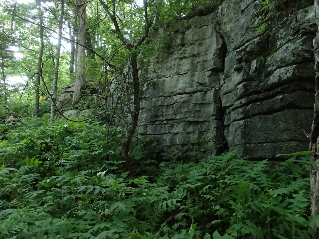
Sherwood Forest State Natural Area

Sherwood Forest is a 3,075-acre Designated State Natural Area located in Franklin County that protects the federally endangered Morefield’s Leather Flower (Clematis morefieldii) and the federally threatened painted snake coiled forest snail (Anguispira picta) in addition to several other state-listed plant and animal species.
This forest community has numerous dominant species that include sugar maple, buckeye, tulip poplar, and basswood. Many of the slopes and spurs are an oak-hickory forest community with white oak prevalent on mid
slopes and scarlet, black, and chestnut oak occurring on drier upper slopes. The natural area has a wonderful spring wildflower display that adds much seasonal color to the forest floor.
Site Management
South Cumberland Recreation Area, 11745 US 41, Monteagle, TN 37356, phone (931) 924-2980. Division of Natural
Areas, William R. Snodgrass Tennessee Tower, 312 Rosa L. Parks Avenue, 2nd Floor, Nashville, TN 37243-0447, phone (615) 532-0431.
Public Access
Open to Public – Full Access Parking and hiking trails are provided. The natural area is operated by Tennessee State Parks. There is a parking area and a 2.75-mile (loop) hiking trail provided.
Parking: Yes
Trail: Yes
Dogs on Leash: Yes
Hunting: Yes
Fishing: No
Camping: No
Directions
To Sherwood Forest State Natural Area: take exit 134 off I-24, turn left to Sewanee for 3.1 miles then turn left on Highway 156. Continue 8.5 miles and turn right on Old CCC Road and continue 2 miles to the parking area located at the end of the road. To South Cumberland Recreation Area: take exit 134 off I-24 and turn right to Monteagle then turn left on Highway 41/56 to Tracy City. Continue for three miles to the visitor center located on the left.
Details & Map
- Map to Sherwood Forest
- Owned by the State of Tennessee
- Sinking Cove 7.5-minute quadrangle
- Cumberland Plateau Physiographic Province
- Designated in 2020